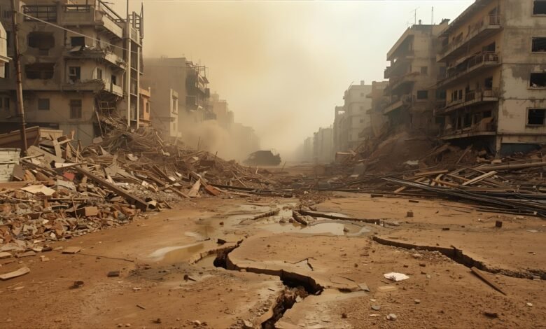
When people ask about the highest magnitude earthquake, they’re usually seeking two things: the record for the strongest quake ever measured, and what “magnitude” actually means in modern seismology. Both answers matter. The record-holder—the 1960 Valdivia, Chile, event—registered about M9.5 on the moment magnitude scale and unleashed a Pacific-wide tsunami. Just as important, today’s seismologists don’t use the old “Richter scale” for great earthquakes; they rely on moment magnitude (Mw), which captures the actual size of the rupture and the energy released. Understanding the science behind the numbers helps explain why the largest earthquakes cluster along subduction zones, why megathrust earthquakes spawn the most destructive tsunamis, and why an earthquake of magnitude 9.5 or larger is exceedingly unlikely.
Below, we’ll unpack the record of the highest magnitude earthquake, demystify magnitude versus intensity, dive into the physics of plate boundaries, and explore what “bigger” really means for risk—from tsunami generation to aftershock patterns. By the end, you’ll know not only which event tops the charts, but also how scientists determine the size of a quake and whether a magnitude 10 is possible (spoiler: it isn’t).
What is the “highest magnitude earthquake”?
The strongest earthquake ever instrumentally recorded is the 1960 Great Chilean (Valdivia) earthquake, with a moment magnitude estimated at M9.5. This colossal megathrust rupture off the southern coast of Chile lasted approximately ten minutes and generated a trans-Pacific tsunami that impacted Hawaii, Japan, and other regions. Geological and historical analyses consistently rank it at the top of the global list.
Second on the list is the 1964 Prince William Sound, Alaska earthquake (M9.2)—the largest in U.S. history—followed by the 2004 Sumatra–Andaman (M9.1) and 2011 Tōhoku, Japan (M9.1) events. All are subduction-zone megathrust earthquakes, a notable pattern indicating where the Earth stores and releases its most incredible seismic energy.
Suppose you’re curious about more than the top two or three. In that case, the U.S. Geological Survey (USGS) maintains a canonical list of the 20 largest earthquakes since 1900, which confirms the same names near the top and underscores the dominance of subduction margins.
Magnitude vs. intensity: clearing up the vocabulary
Magnitude is a single number that represents the size of an earthquake at its source. Today, scientists use the moment magnitude scale (Mw) because it scales well for massive earthquakes and ties directly to seismic moment, a physical measure derived from fault area × slip × rock rigidity. Magnitude is logarithmic, so each whole-number step represents about 32 times more energy release. Intensity, on the other hand, describes how strongly people feel shaking at specific locations (e.g., the Modified Mercalli Intensity scale); it varies with distance, local geology, and building structure.
You’ll still hear “Richter scale” in casual conversation, but it was originally designed for Southern California and local magnitudes (ML) from nearby, high-frequency seismograms. For great earthquakes, such as the highest magnitude earthquake on record, Mw is the standard because it better captures low-frequency energy and total rupture size.
Why do the most significant earthquakes happen at subduction zones?

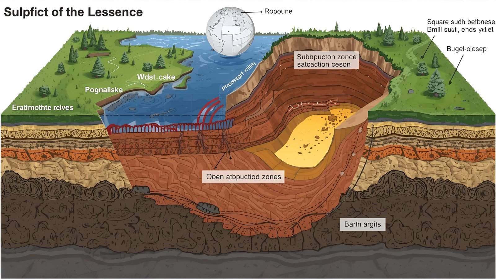
The common thread among the Valdivia, Alaska, Sumatra, and Tōhoku events is that they occurred at subduction zones, where one tectonic plate dives beneath another. Along these convergent margins, plates can remain locked for centuries, storing strain across hundreds to thousands of kilometers of fault length and tens to hundreds of kilometers of downdip width. When the stuck interface finally ruptures, it can propagate astonishing distances, producing the large fault areas and slips needed to reach M9+.
Subduction earthquakes also often create tsunamis, because the seafloor is displaced vertically during rupture—sometimes enhanced by splay faults and submarine landslides. That vertical displacement sets the ocean in motion and can send waves racing across basins, as seen in 1960, 2004, and 2011.
The tsunami connection
Most tsunami-generating earthquakes occur on reverse (thrust) faults in subduction zones; the most significant tsunami events almost always do. The 1960 Chile, 2004 Sumatra, and 2011 Japan earthquakes each produced devastating tsunamis because of the rapid uplift and subsidence of large sections of the seafloor. Coastal communities near subduction trenches face the dual threat of severe shaking and tsunami inundation within minutes to hours.
How big can an earthquake get? (No, not magnitude 10.)
A natural follow-up to the highest magnitude earthquake is whether magnitude 10 is possible. According to the USGS, an M10 or larger earthquake would require an unrealistically long fault, far exceeding the longest existing fault on Earth. Magnitude scales are tied to fault length and slip, and even the largest known plate boundaries can’t produce the fault dimensions needed for an accurate M10. In other words, M9.5 is likely near the upper bound for our planet’s current tectonic architecture.
What the top events teach us

1960 Valdivia, Chile (M9.5)
The reigning champion demonstrates how a long, locked megathrust can unload in a single, basin-shaping event. Rupture propagated along about 1,000 km of the Chilean margin, and the tsunami traversed the Pacific, affecting Hawaii and Japan. The event cemented Chile as one of the most seismically active—and studied—subduction zones.
1964 Prince William Sound, Alaska (M9.2)
The largest U.S. earthquake lasted ~4.5 minutes, caused widespread coastal uplift and subsidence, and generated a tsunami that damaged communities from Alaska to northern California. It remains a cornerstone for understanding Cascadia and other North Pacific subduction hazards because of its well-documented megathrust mechanics.
2011 Tōhoku, Japan (M9.1)
This event highlighted how seafloor displacement can intensify tsunami impacts, even in a nation with world-class preparedness. Detailed finite-fault models and data-rich records from Japan revolutionized how scientists think about slip distribution, tsunami warning, and nuclear plant siting along subduction coasts.
“Highest magnitude” versus “deadliest” or “costliest”
A common misconception is that the highest magnitude earthquake must also be the deadliest or most costly. Not necessarily. Human impacts depend on population density, building practices, local geology, depth, and tsunami exposure. For instance, the 2004 Sumatra–Andaman M9.1 killed nearly 300,000 people primarily due to the tsunami, while some slightly smaller but shallow, urban quakes—nowhere near M9—have caused staggering losses because they struck beneath vulnerable cities. Magnitude is crucial, but context drives outcomes.
How scientists determine magnitude today
Modern networks utilize multiple seismometer types and broadband recordings to invert for seismic moment, from which the moment magnitude (Mw) is calculated. The shift from Richter’s ML to Mw matters most for huge events; Mw remains reliable when long-period energy dominates and when rupture spans hundreds of kilometers. That’s why modern summaries of the highest magnitude earthquake and its runner-ups cite Mw estimates, often refined over time as new data and methods emerge.
Why do you see minor post-event magnitude updates?
It’s normal for agencies to revise magnitudes in the hours to days after an event. Initial values are based on rapid, limited data; as more stations report, analysts can refine the source model and sometimes adjust the magnitude slightly. These updates don’t indicate uncertainty about the event’s occurrence—only improved precision. You can track significant global events and any updates on the USGS real-time map and their significant earthquakes page.
Preparing for the next great quake
Although M9+ events are rare, regions near subduction trenches—such as Chile, Japan, Indonesia, Alaska, and potentially the Cascadia region—must plan for shaking and tsunami evacuation. Public education that emphasizes drop, cover, and hold, as well as vertical or inland evacuation in tsunami zones, and resilient building codes saves lives. Understanding the limits—such as why a magnitude 10 is unrealistic—helps focus planning on scenarios that are devastating yet physically plausible.
Final Thoughts
The highest magnitude earthquake ever recorded is the 1960 Valdivia, Chile, megathrust earthquake, which is estimated to have been around M9.5. All of the world’s truly great earthquakes happen on subduction interfaces, where long, locked faults can rupture over immense areas and thrust the seafloor upward, sometimes generating ocean-spanning tsunamis.
Scientists measure these events using moment magnitude (Mw)—not the colloquial Richter scale—and the physics of faulting sets a hard ceiling well below M10. While we can’t predict the exact timing of the subsequent giant rupture, the combination of geology, statistical laws such as the Gutenberg–Richter law, and historical records guides realistic planning for regions that sit on the front lines of Earth’s tectonic engine.
FAQs
Q: What is the highest magnitude earthquake ever recorded?
The 1960 Valdivia (Great Chilean) earthquake holds the record at approximately M9.5 on the moment magnitude scale. It generated a Pacific-wide tsunami and remains the benchmark for the largest earthquakes.
Q: Is the Richter scale still used for the most significant earthquakes?
Not for modern global reporting. The moment magnitude (Mw) scale has largely replaced the Richter (ML) scale, especially for great earthquakes, because Mw better reflects total rupture size and low-frequency energy.
Q: Can a magnitude 10 earthquake happen?
No. According to the USGS, an M10 would require a fault length and slip far beyond anything known on Earth. The physics of faults effectively caps the most significant credible events well below magnitude 10.
Q: Why do the largest earthquakes often cause tsunamis?
Most of the largest earthquakes are megathrust events at subduction zones. Their vertical seafloor displacement can displace massive volumes of water, launching tsunamis that traverse ocean basins.
Q: How often do M9+ earthquakes occur worldwide?
They’re rare on human timescales. The Gutenberg–Richter law indicates that the frequency of earthquakes decreases rapidly as magnitude increases, which is why M9+ events are exceptional, even along the most active plate boundaries.
See More: John Thune 5 Powerful Leadership Wins in the Senate


